 Open demo
 GitHub
Chat and streamed progress
Source includes chat, process steps, plan and thought panels driven by streamed backend events.

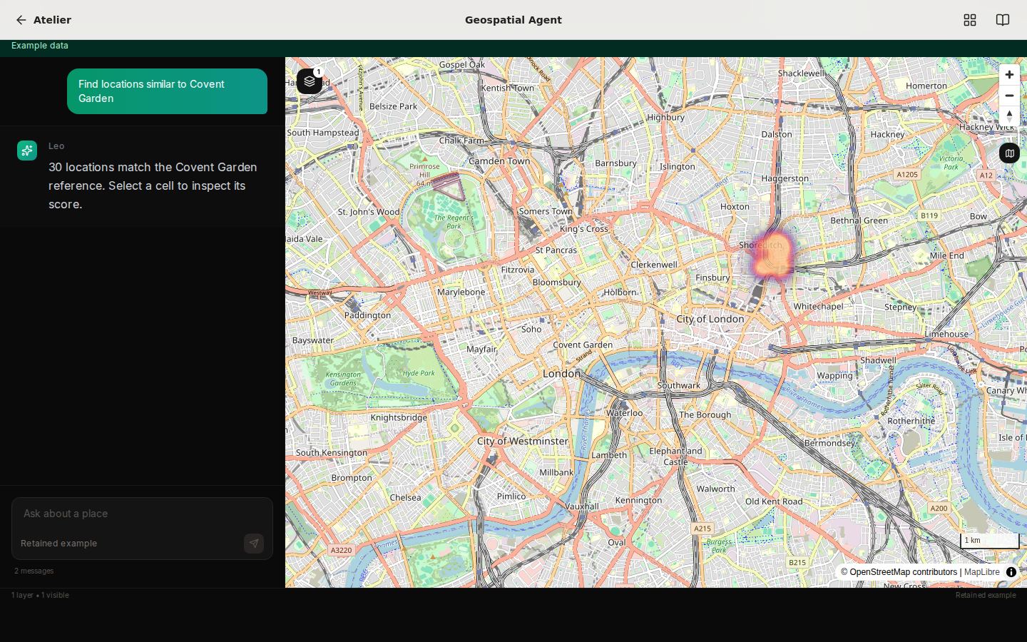
Geospatial questions span many datasets, sources and scales, making it hard to connect an analytical question to inspectable map evidence.
Source includes chat, process steps, plan and thought panels driven by streamed backend events.
Next.js, deck.gl and Mapbox components display and control geographic layers.
Backend source includes Overture, demographics, agriculture, climate, routes, news and other tool adapters; each requires its own data and runtime validation.
The source provides a location-selection mode that sends an H3 similarity query and renders returned layers.
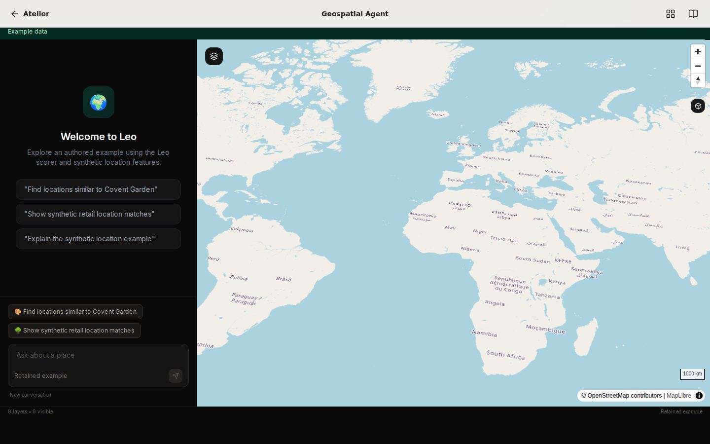
Keep the conversation, plan and map layers in one workspace. Stream tool and map events to the frontend as the analysis progresses. Use separate cascade chat and location-similarity modes in the recovered interface.
The recovered Next.js and deck.gl console builds with TypeScript and lint checks passing. Its hosted example shows a computed synthetic retail comparison through the original map renderer. Connect your own model, data and provider accounts to run fresh agent work.
Explore the synthetic example and configure your own providers for live analysis.